
Mission Planning
Initializing the Flights System
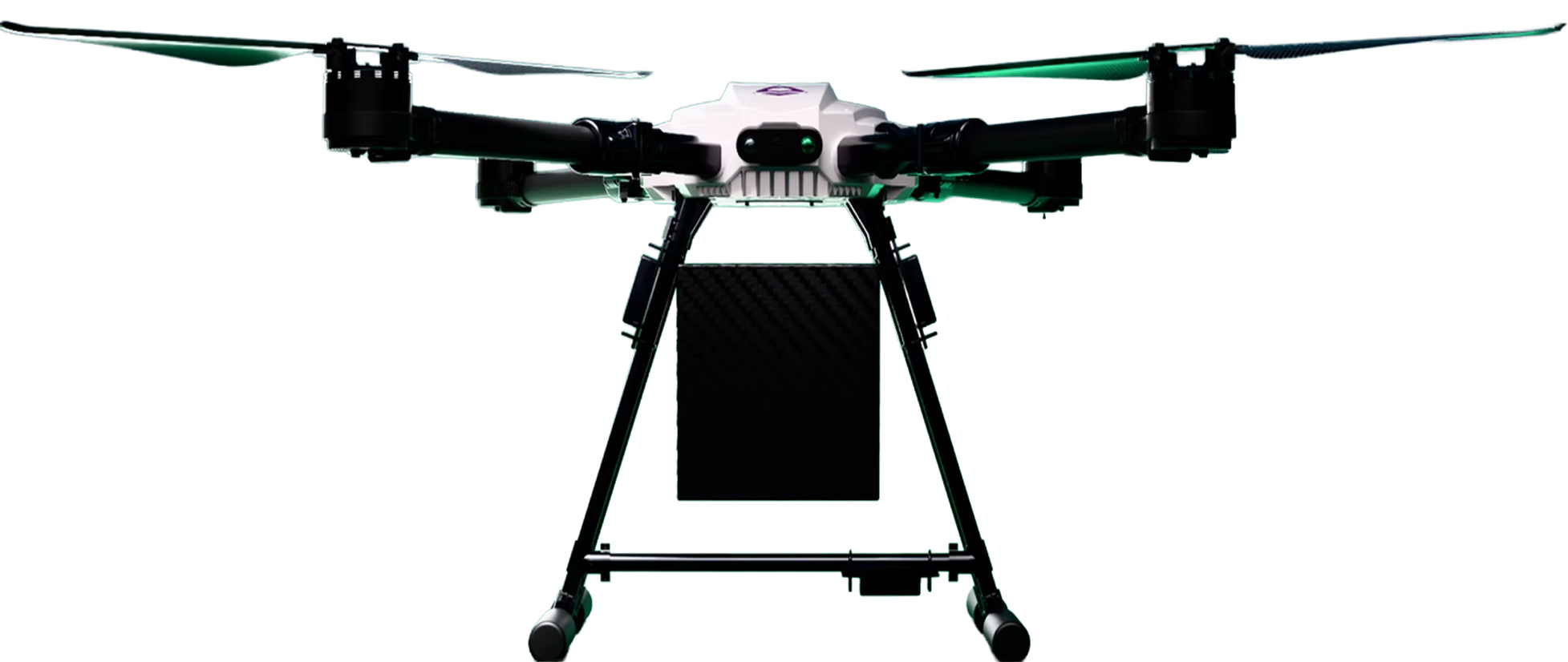
Our imaging solutions combine advanced sensors, AI-powered analytics, and compact e-VTOL platforms to deliver accurate, real-time aerial data. Designed for precision and reliability, these solutions empower industries to monitor, inspect, and analyze environments faster and smarter.

Crop health, NDVI & yield analysis

Site progress & structural inspection

Surveillance & situational awareness

Fast, reliable last-mile aerial delivery

Mission Planning

Autonomous Flight

Data Capture

Insights & Reports
All Rights Reserved. Privacy Policy.